Latest trends and applications for geospacial projects
In this knowledge hub, we’ll dive into the latest innovations shaping the geospatial industry. We’ll share our expertise on best practices for processing and analyzing geospatial data using advanced tools like Pythagoras CAD and Pointorama. From seamless point cloud management to precise terrain modeling, we’ll showcase how these solutions are transforming data workflows and improving project accuracy in real-world scenarios.
Whether you’re an experienced professional or new to the field, join us as we explore the power of specialized CAD software in modern geospatial applications.
Pointorama introduces AI-powered floorplan generation
Pointorama introduces AI-powered floorplan generation, allowing users to automatically create editable floorplans from point cloud data in seconds while keeping full control over every detail.

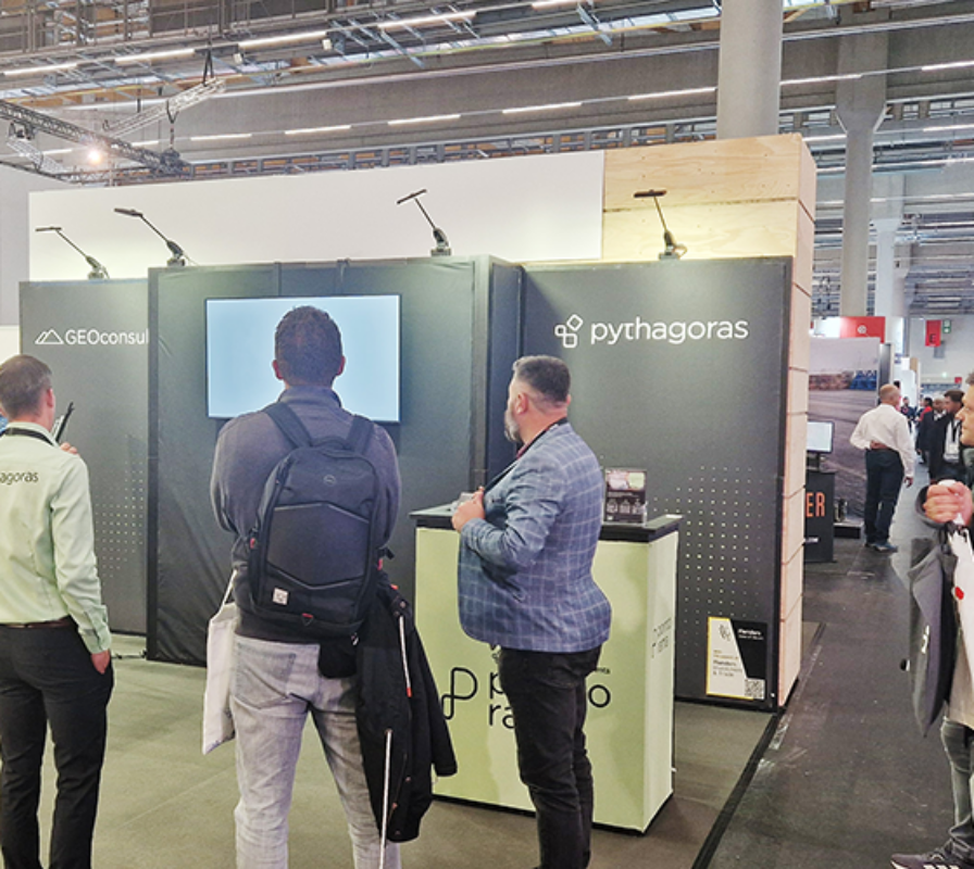
Pythagoras on tour: meet us at key events in 2026
Meet Pythagoras at key events in 2026. Discover new features, explore innovations and connect with our team across Europe. In 2026, Pointorama will be present at leading geospatial events across Europe, including GeoBusiness, Intergeo and Trefdag Digitaal Vlaanderen. Discover our latest innovations, explore new workflows and experience how much our technology has evolved when you meet us in person.

Launch your own branded CAD solution with Pythagoras BV
We have launched a powerful white-label CAD platform that enables drone and mapping companies to offer advanced CAD tools fully under their own brand — tailored to workflows, integrations and regional compliance.

Use case: Land surveying excellence with Pythagoras CAD
Learn how LSG utilizes Pythagoras CAD to excel in land surveying projects, streamline workflows, and deliver accurate, professional results for their clients.

Terra Drone partners with Pythagoras to launch “Terra 3D CAD”
Pythagoras and Terra Drone join forces to launch Terra 3D CAD, a fully customized white-label CAD solution combining SLAM, UAV and point cloud technology for surveyors and construction professionals.

Custom solutions within Pythagoras: how Verhelst Aannemingen gains insight into underground data
Clear insight into underground cables and pipelines before works start? See how Verhelst reduces risks and improves preparation with custom Pythagoras development.

Dynamic profiles | Pythagoras CAD 2025
Discover Dynamic Profiles in Pythagoras CAD 2025 — a smarter, faster way to create and update cross-sections that automatically adjust with every change to your design. Make your profiles truly dynamic and keep your workflow perfectly in sync.

Say hello to ‘Pythagoras CAD 2025’
We are proud to announce the official release of Pythagoras CAD 2025, launched at Intergeo 2025. This new version delivers major performance improvements and smarter tools that take your geospatial workflows to the next level

IFC Export | Pythagoras CAD 2025
Export DTMs in IFC 4.3 with Pythagoras CAD 2025 for smoother BIM integration, ensuring accurate data sharing and streamlined collaboration.