Latest trends and applications for geospacial projects
In this knowledge hub, we’ll dive into the latest innovations shaping the geospatial industry. We’ll share our expertise on best practices for processing and analyzing geospatial data using advanced tools like Pythagoras CAD and Pointorama. From seamless point cloud management to precise terrain modeling, we’ll showcase how these solutions are transforming data workflows and improving project accuracy in real-world scenarios.
Whether you’re an experienced professional or new to the field, join us as we explore the power of specialized CAD software in modern geospatial applications.
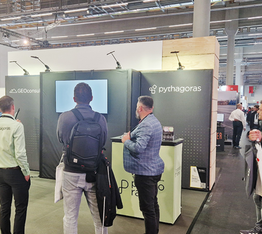

3D scanning in construction: enhancing accuracy with Pointorama
Our software combines traditional surveying with 3D scanning and vendor-neutral flexibility to enhance accuracy and streamline workflows. Learn more about improving your workflow.

Top 5 challenges in earthworks and how Pythagoras CAD solves them
Pythagoras CAD solves major earthwork challenges, improving soil measurement, terrain modeling, and volume calculations for more efficient, accurate results. Do you recognize these 5 challenges?

The 2025 trade show season: a look ahead at key industry events
Get ready for the 2025 trade show season! Discover cutting-edge tools, connect with industry experts, and explore how geospatial technology is transforming workflows.

The importance of AI in point cloud classification
Transform your surveying workflow with AI-powered point cloud classification. Automate complex tasks, boost accuracy, and speed up project timelines across construction, urban planning, and more.

Introducing Pointorama: a revolutionary platform for point cloud processing
Pointorama simplifies point cloud processing with a four-step workflow: Scan, Clean, Measure, and Share. Advanced AI tools like object detection and classification enhance accuracy, streamline processes, and improve collaboration, helping you deliver precise results quickly.

Join Pythagoras at ‘Trefdag Digitaal Vlaanderen’ 2024
On October 24, 2024, Pointorama will be a participant in ‘Trefdag Digitaal Vlaanderen’, an essential event for anyone in Flanders interested in digital transformation. We will proudly present the future of point cloud management.
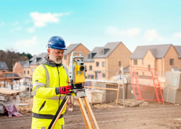
From complex to simple surveying with Pythagoras CAD
Explore the power of Pythagoras CAD today and take your projects to the next level with enhanced precision, speed, and efficiency.

Get ready for INTERGEO 2024 in Stuttgart with us!
We’re gearing up for an exciting event this September – INTERGEO 2024 in Stuttgart! As an exhibitor, we’re eager to connect with industry peers and geoinformation enthusiasts.

Vendor-neutral software: Why flexibility in surveying tools matters
Pythagoras CAD’s vendor-neutral approach provides unparalleled flexibility and adaptability, ensuring that surveyors can efficiently work with a variety of tools and equipment. What benefits are in there for you?