Latest trends and applications for geospacial projects
In this knowledge hub, we’ll dive into the latest innovations shaping the geospatial industry. We’ll share our expertise on best practices for processing and analyzing geospatial data using advanced tools like Pythagoras CAD and Pointorama. From seamless point cloud management to precise terrain modeling, we’ll showcase how these solutions are transforming data workflows and improving project accuracy in real-world scenarios.
Whether you’re an experienced professional or new to the field, join us as we explore the power of specialized CAD software in modern geospatial applications.
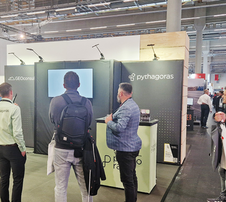

Say hello to ‘Pythagoras CAD 2025’
We are proud to announce the official release of Pythagoras CAD 2025, launched at Intergeo 2025. This new version delivers major performance improvements and smarter tools that take your geospatial workflows to the next level

IFC Export | Pythagoras CAD 2025
Export DTMs in IFC 4.3 with Pythagoras CAD 2025 for smoother BIM integration, ensuring accurate data sharing and streamlined collaboration.

Volume calculation: Slice terrain by sections or height | Pythagoras CAD 2025
Gain precise terrain insights in Pythagoras CAD 2025 with new slice-by-sections tools for detailed cut-and-fill analysis.

Polyline Enhancements | Pythagoras CAD 2025
Edit and manage polylines faster in Pythagoras CAD 2025 with powerful new tools for joining, closing, modifying, and bulk converting.

New selection & display options in the 3D environment | Pythagoras CAD 2025
Work smarter in Pythagoras CAD 2025 with powerful 3D selection tools, giving you more flexibility and control when refining point clouds.

Manual Classification in Point Clouds | Pythagoras CAD 2025
Easily refine point clouds in Pythagoras CAD 2025 with manual classification for more control and precision.

5 reasons to attend ‘Trefdag Vlaanderen Digitaal’ – Flanders’ leading digital transformation conference
On October 23, Trefdag Vlaanderen Digitaal gathers 4,000+ professionals in Ghent — meet us there for live demos of Pythagoras CAD 2025 and Pointorama.

What’s new in Pythagoras CAD 2025?
Pythagoras CAD 2025 introduces smarter tools, faster performance, and powerful 3D features to turn complex data into clear results.

Innovations at Intergeo ’25 – Discover the next features of Pythagoras CAD & Pointorama
Bezoek ons op Intergeo 2025 in Frankfurt en ontdek de nieuwste features van Pythagoras & Pointorama. Vraag je gratis ticket of boek een demo!