CONSTRUCTION
Simple terrain monitoring for smarter construction
Smarter earthworks. Greater control. Less rework.
From accurate volume calculations to machine-ready terrain models, Pythagoras CAD helps you plan, monitor and execute earthworks with confidence.
Spend less time on manual calculations and keep your projects moving.
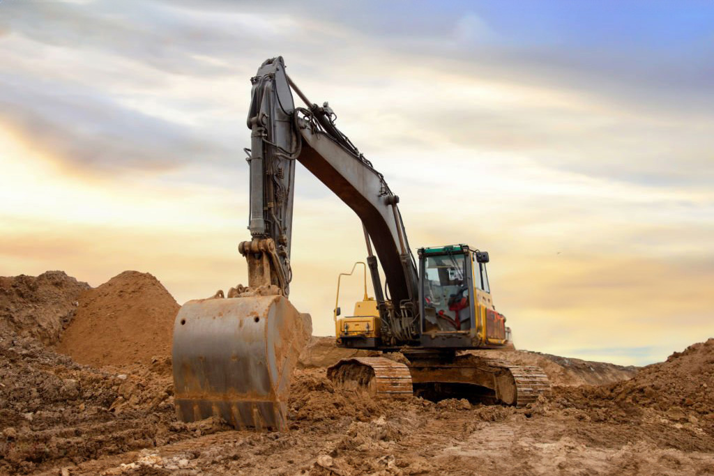
Accurate earthwork calculations for every project
Take full control of your earthworks with precise digital terrain models and reliable volume calculations. Easily calculate cut-and-fill quantities, compare existing and proposed surfaces, and monitor changes throughout every stage of your project. Reduce manual calculations, avoid costly errors and make better decisions with accurate, up-to-date data.
Explore volume calculations
Powerful tools. Simplified workflows.
Complex earthworks don’t need complicated workflows. Pythagoras CAD combines powerful terrain modelling tools with an intuitive interface. Easily calculate volumes, analyse surfaces and prepare accurate project data. Work with confidence, reduce repetitive tasks and count on our experienced support team whenever you need assistance.
Discover CAD features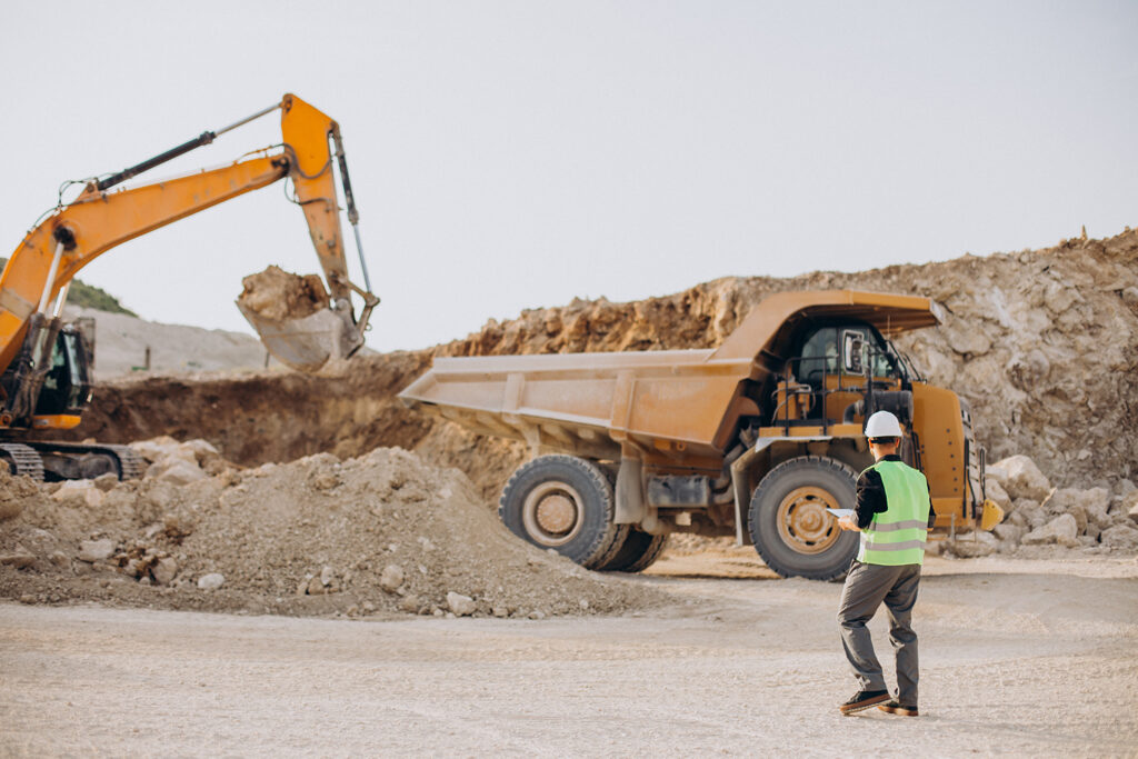
Over 30 years of industry expertise
For more than three decades, Pythagoras has been helping professionals turn complex terrain data into reliable results. Our software continues to evolve with the needs of surveyors, engineers and construction teams. Combining proven expertise with continuous innovation, we develop practical tools that make earthwork planning, calculations and project execution easier.
About Pythagoras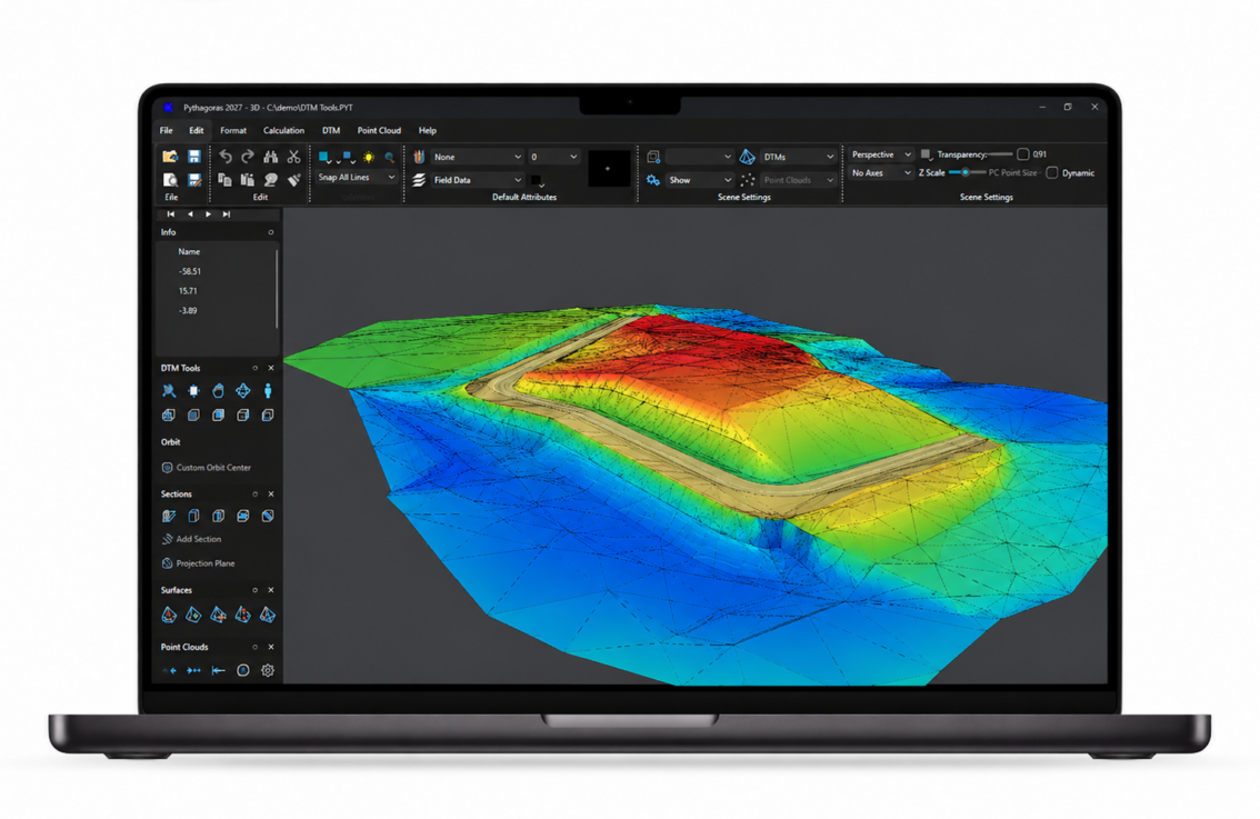
Built for today’s earthworks. Ready for tomorrow.
The next generation of Pythagoras CAD is coming in Q1 2027. With up to 10× faster performance in selected operations, a modern workspace and a powerful new rendering engine, working with complex terrain models and large drawings will become smoother and more responsive.
Accurate earthworks with intuitive software
Take control of your earthwork projects
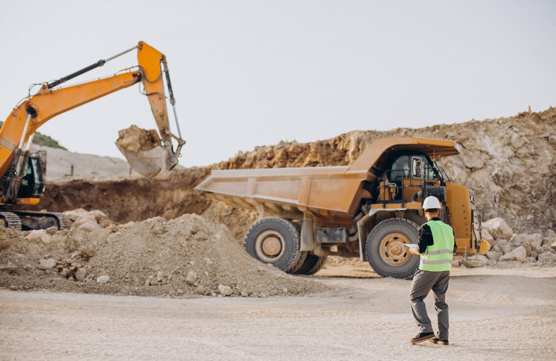
Stay in control of your earthworks, from planning to execution. Calculate soil volumes, compare terrain levels and monitor progress using accurate survey data. Perform your own calculations without relying on external surveyors for every measurement. Make faster decisions, avoid costly mistakes and keep your projects on schedule and within budget.
Less waiting. Faster decisions. More control on site.
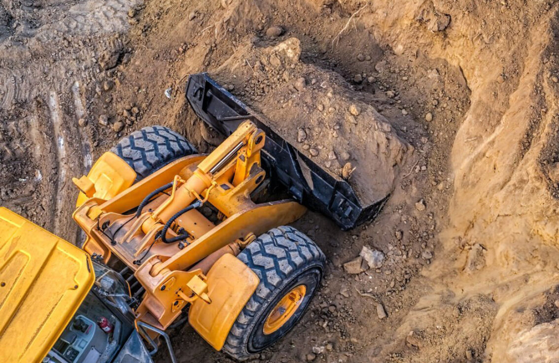
Precise and reliable earthwork calculations
Turn data from GPS measurements and 3D scans into accurate Digital Terrain Models (DTMs). Calculate cut-and-fill volumes, compare existing and proposed terrain levels, and generate detailed cross sections and profiles. Monitor earth movements and keep track of quantities throughout your project.
Optimise your terrain design by balancing excavation and fill volumes. Reduce unnecessary soil transport, control costs and make better use of available materials, all within one powerful CAD environment.
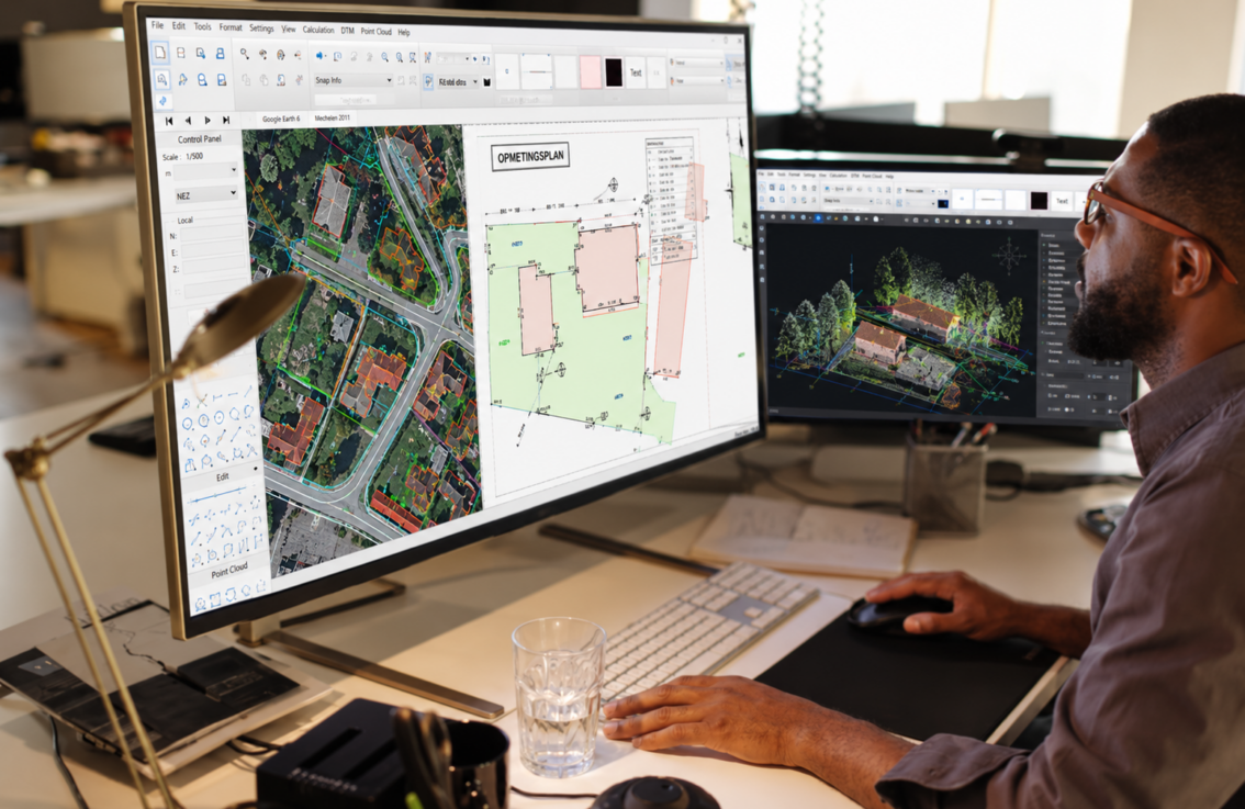
Intuitive software. Reliable support.
Powerful tools don’t have to mean complicated workflows. Pythagoras CAD combines advanced earthwork calculations with an intuitive interface, making it easier to manage your projects efficiently. Spend less time figuring out your software and more time getting the job done.
Need assistance? Our experienced support team is ready to help. From getting started to advanced calculations, we offer personal guidance and training to help you work with confidence.
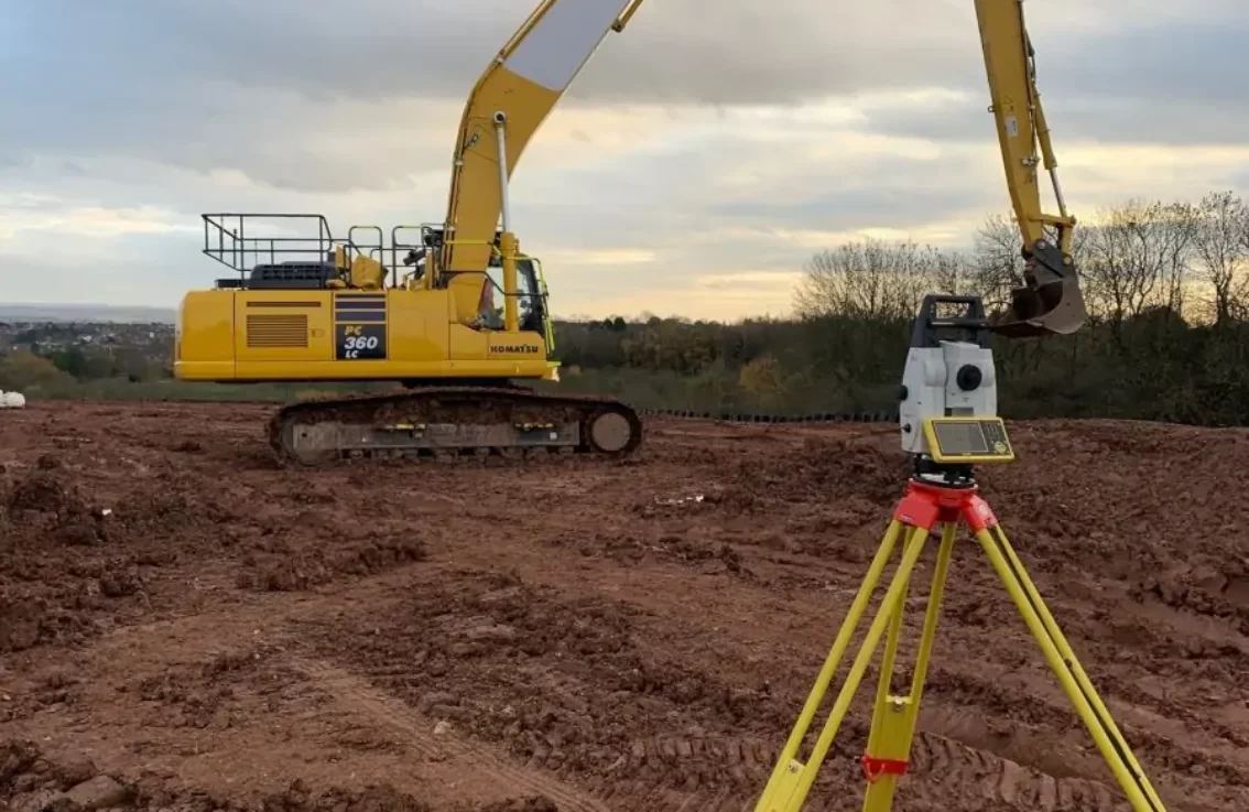
From terrain design to machine control
Turn accurate terrain models into practical results on site. Design and optimise your terrain in Pythagoras CAD, then export the data for use with compatible machine control systems. Give operators the information they need to carry out earthworks with greater precision.
Reduce manual setting-out, minimise rework and keep excavation and grading operations aligned with your design. Work more efficiently, avoid costly mistakes and maintain better control throughout your project.

Pythagoras thinks along with us
Pythagoras CAD has transformed how LSG handles land surveying projects. It simplifies data conversion and improves accuracy, saving us valuable time. The software’s flexibility helps us tailor outputs to meet client needs, making it an essential tool for our team. Pythagoras CAD is a key part of our workflow, ensuring consistent, high-quality work every time.

LSG Landmeters – Business owner

Ideal software package with extensive possibilities
“Pythagoras is the ideal software package for our company. The extensive possibilities in terms of terrain models, point clouds, drawing capabilities… made our choice extremely easy! The Pythagoras R&D team does a great job developing a stable and easy-to-use application that fits our needs perfectly.”
Landmeterskantoor Van Eester – Business owner

The best software for maps and plans.
“FIGEX is active in two fields: Industrial and topographical projects. We are convinced that Pythagoras is the best software to produce nice plans and maps. Several macros allow us the be even more productive and offer a great responsiveness to our clients. The DWG compatibility lets us work easily with architects, design offices and managers of industrial projects. Bernard Huon listens to his customers and is always available to help out. Important for a sustainable and long term relation.”

Figex – Ingenieur industriel & Géomètre-Expert
Ready to take control of your earthworks?
Discover how Pythagoras CAD helps you calculate volumes, optimise terrain designs and manage earthwork projects with greater accuracy and less manual effort.
See the software in action and explore how it can make your daily workflow faster, easier and more efficient.
Book a demo Explore CAD featuresEssential reads for smarter earthworks

Top 5 challenges in earthworks and how Pythagoras CAD solves them
Pythagoras CAD solves major earthwork challenges, improving soil measurement, terrain modeling and volume calculations for more efficient, accurate results. Do you recognize these 5 challenges?
Read more …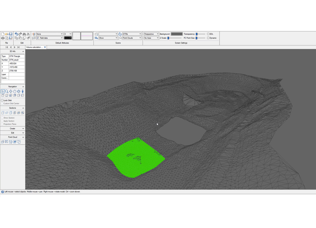
Maximizing terrain analysis with Digital Terrain Models (DTMs)
Optimize terrain analysis with Digital Terrain Models (DTMs). From precise volume calculations to seamless point cloud integration, DTMs enhance workflows, improve project planning and deliver accurate insights. Read more!
Read more …
3D scanning in construction: enhancing accuracy with Pointorama
Our software combines traditional surveying with 3D scanning and vendor-neutral flexibility to enhance accuracy and streamline workflows. Learn more about improving your workflow.
Read more …