
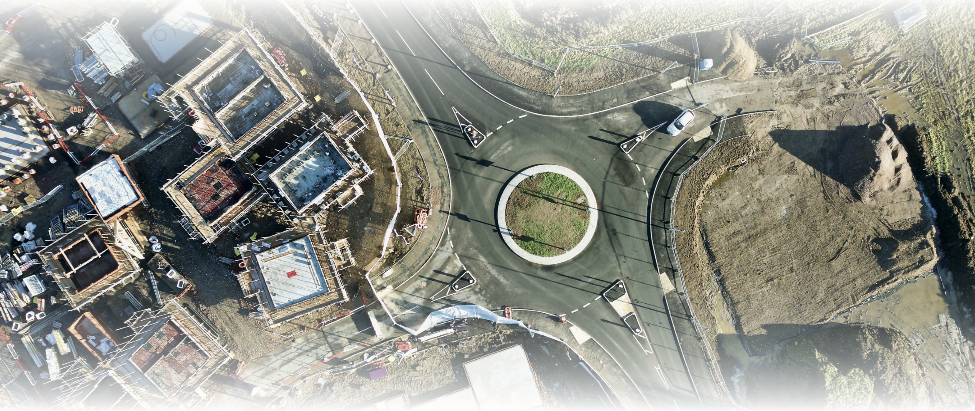
Pythagoras is able to import processed orthophotos and classified lidar data. Easy visualization and cleaning tools allow to analyze images in 2D and the point cloud in 3D.
Automated vectorization algorithms make sure that manual actions are limited when analyzing the point cloud. The point cloud can be automatically converted into contour and breaking lines. While comparison functions monitor your project over time.
Embedded classification can be used to switch of certain parts of the point cloud, which makes it easier to filter, colorize, vectorize and calculate the correct terrain model.
-
Import point cloud and orthophoto
-
Manual and automated vectorization
-
Extract points, lines and polygons
-
Calculate model, contours and volumes
-
Monitor progress of your project
-
Classify point clouds
-
Compare point clouds