Two solutions. One goal: a faster workflow.
From survey data to accurate drawings. From point clouds to ready-to-use floor plans. Discover the right tools to work more efficiently.
Pythagoras CAD
From measurements to precise CAD deliverables.
- Survey data & CAD drawings
- Terrain models & volumes
- Point cloud workflows
Best for
Surveyors, engineers & earthworks professionals
Pointorama
From raw scans to structured floor plans.
- Automatic room detection
- Less manual tracing
- CAD & BIM exports
Best for
Surveyors, architects & real estate professionals
Working with both CAD data and point clouds?
These solutions complement each other. Use Pointorama to automate indoor scan processing and continue working with the exported results in Pythagoras CAD.
The right software for every workflow.
From survey measurements to precise CAD drawings. From 3D scans to structured floor plans. Pythagoras CAD and Pointorama help professionals turn complex data into accurate results, with less manual work and more control.
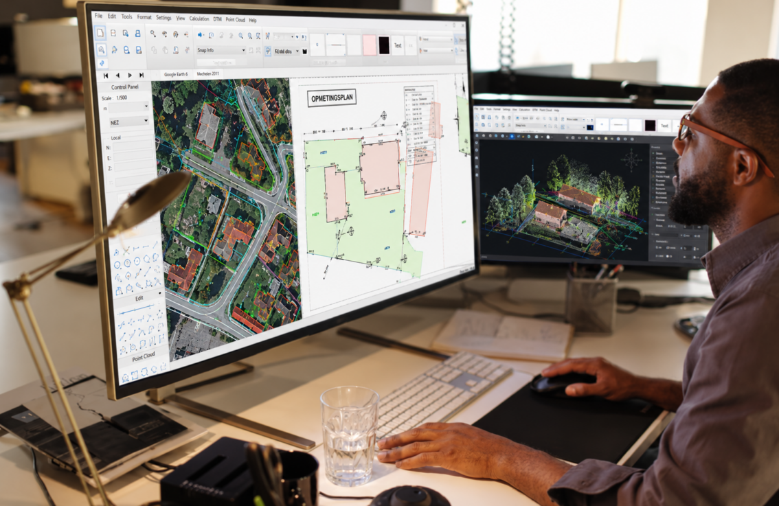
Pythagoras CAD
Powerful CAD for surveying and earthworks.
Turn field measurements into accurate drawings, terrain models and reliable project data. Work with your existing instruments and file formats, automate repetitive tasks and handle complex projects with confidence.
Key benefits
- Work with your existing equipment. Import survey data from different instruments and formats.
- Spend less time on manual drawing. Use intelligent CAD tools to speed up everyday tasks.
- Handle complex terrain data. Create DTMs, calculate volumes and generate profiles.
- Work with confidence. Combine powerful tools with personal support and over 30 years of expertise.
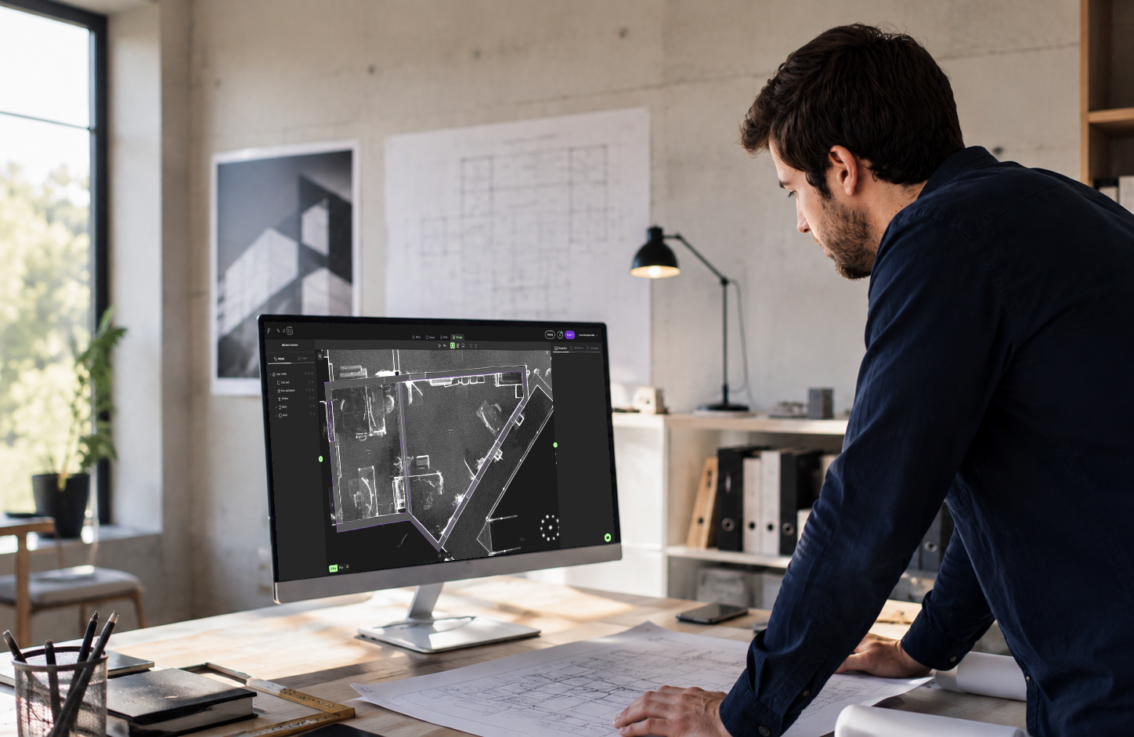
Pointorama
From scan to floor plan. Faster.
Turn raw point clouds into structured 2D and 3D floor plans with intelligent automation. Detect rooms, walls, doors and windows, refine the results and export to CAD or BIM, all from your browser.
Key benefits
- Skip hours of manual tracing. Automatically detect building elements from scan data.
- Get more from your scanner. Work with data from different scanning systems.
- Stay in control. Adjust layouts, verify dimensions and refine the final result.
- Deliver ready-to-use results. Export to DXF or IFC and share projects with your team.