Tailored solutions for your industry
Every industry faces its own challenges. At Pythagoras, we develop intelligent software solutions that help professionals turn complex data into accurate results, streamline workflows and work more efficiently. Our solutions support three key industries: surveying, construction and 3D scanning.
For surveying professionals, our powerful CAD tools simplify data processing, mapping and the creation of precise deliverables. In construction, our solutions support accurate planning, terrain modelling and efficient project execution. For 3D scanning professionals, we combine advanced point cloud processing with intelligent automation, transforming complex scan data into valuable insights and ready-to-use deliverables.
Whatever your industry, our goal remains the same: reduce manual work, improve accuracy and give you the tools to work smarter, from data collection to final delivery.
Start now“Just try it. You’ll immediately see how much time it saves
and how it improves accuracy in your workflow.”
Nico Louagie – Surveyor & Judicial Expert, Sabbe & C°

Surveilling & mapping
Powerful software for surveyors
From field measurements to final deliverables, Pythagoras CAD helps surveying professionals work faster, smarter and with greater precision. Bring data from different instruments and formats together in one intuitive environment, without unnecessary complexity.
With powerful tools for data processing, mapping, terrain modelling and accurate CAD drawings, Pythagoras CAD simplifies even the most demanding surveying workflows. Spend less time on repetitive tasks, maintain full control over your data and deliver reliable results with confidence.
Construction
Smarter, more accurate terrain monitoring
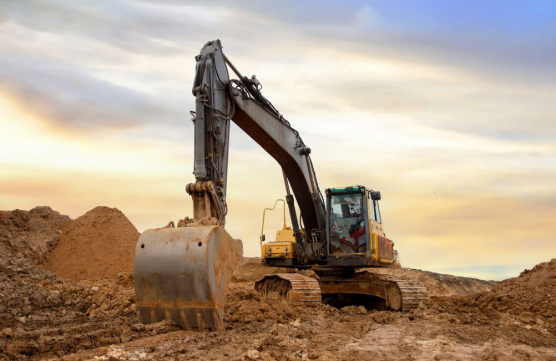
In construction, accurate terrain data is essential for efficient planning, reliable calculations and successful project execution. Pythagoras CAD helps professionals monitor terrain changes, manage earthworks and make informed decisions with confidence.
With powerful tools for digital terrain modelling, volume calculations and terrain analysis, Pythagoras CAD simplifies complex workflows and reduces manual work. From initial site measurements to ongoing terrain monitoring, work faster, maintain full control and keep your projects on track.
3D scanning
From point clouds to results, faster
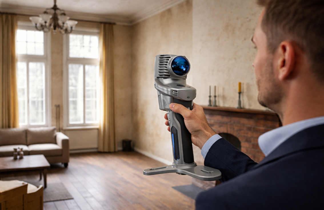
Turn complex 3D scan data into accurate, ready-to-use results with Pointorama. Our intelligent cloud platform simplifies point cloud processing and automates time-consuming tasks. Detect floors, rooms, walls, doors and windows in just minutes.
Create detailed 2D and 3D floor plans, analyse point clouds and export your results to CAD or BIM. Refine every detail, collaborate with ease and stay in full control. Less manual work, faster workflows and more time to focus on what matters.
Ready to work smarter?
Whether you’re working in surveying, construction or 3D scanning, the right tools make all the difference. Discover how Pythagoras CAD and Pointorama can simplify your daily workflows, save valuable time and help you achieve accurate results.
See what our solutions can do for you.