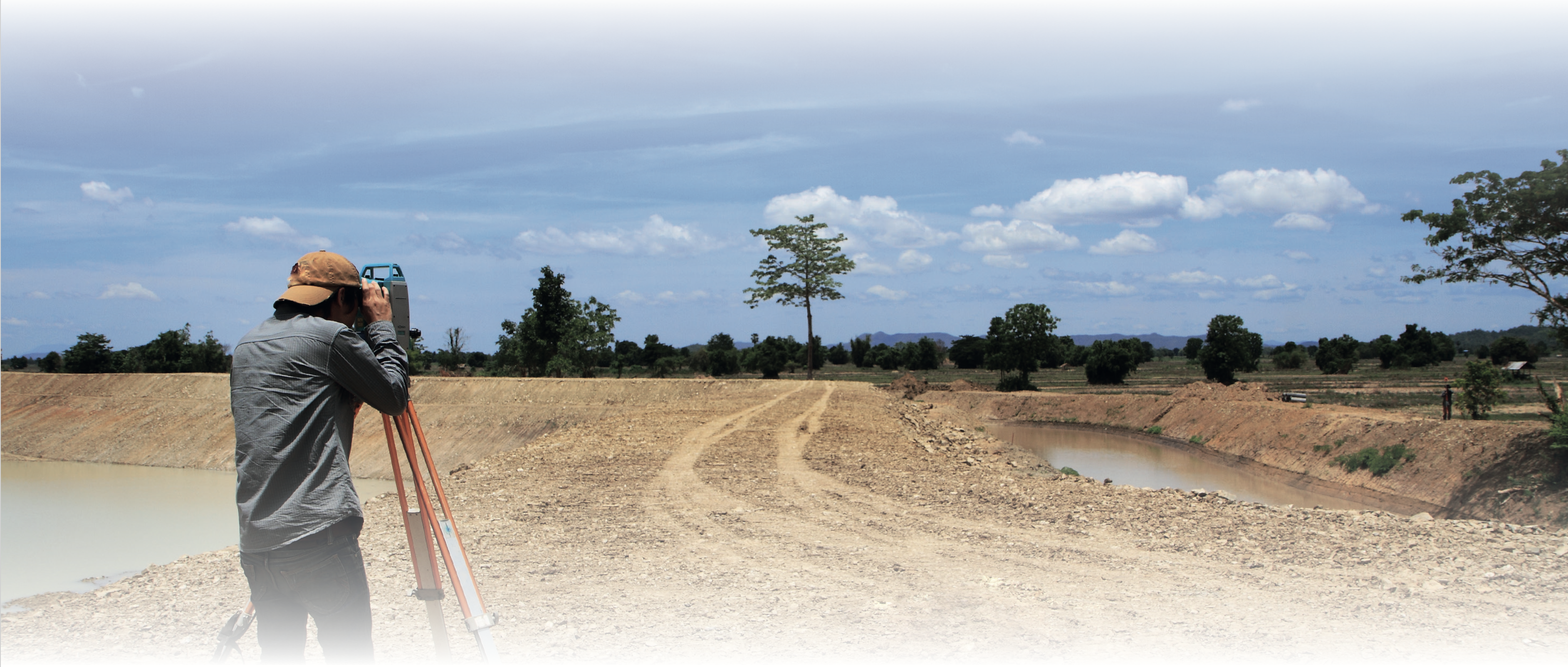
Total stations, GPS instruments, laser scanners, UAV’s and drones, lidar, mobile mapping systemsand single and multi-beam systems assist the surveyor to successfully finalize all projects in differentindustries.
Pythagoras helps surveyors offer services to architects, land managers, mining, dredging and agriculture sector, construction and infrastructure companies.
Combining all types of data in one project drawing and having easy-to- use drawing and calculation tools allows to deliver surveying clients an accurate, complete and high-quality project plan.
-
Combine all datatypes in one project
-
Load and analyse GPS, TPS and point cloud data
-
Calculate terrain models, profiles and cross sections
-
Classify and vectorize point clouds
-
Create your personalized layout
