
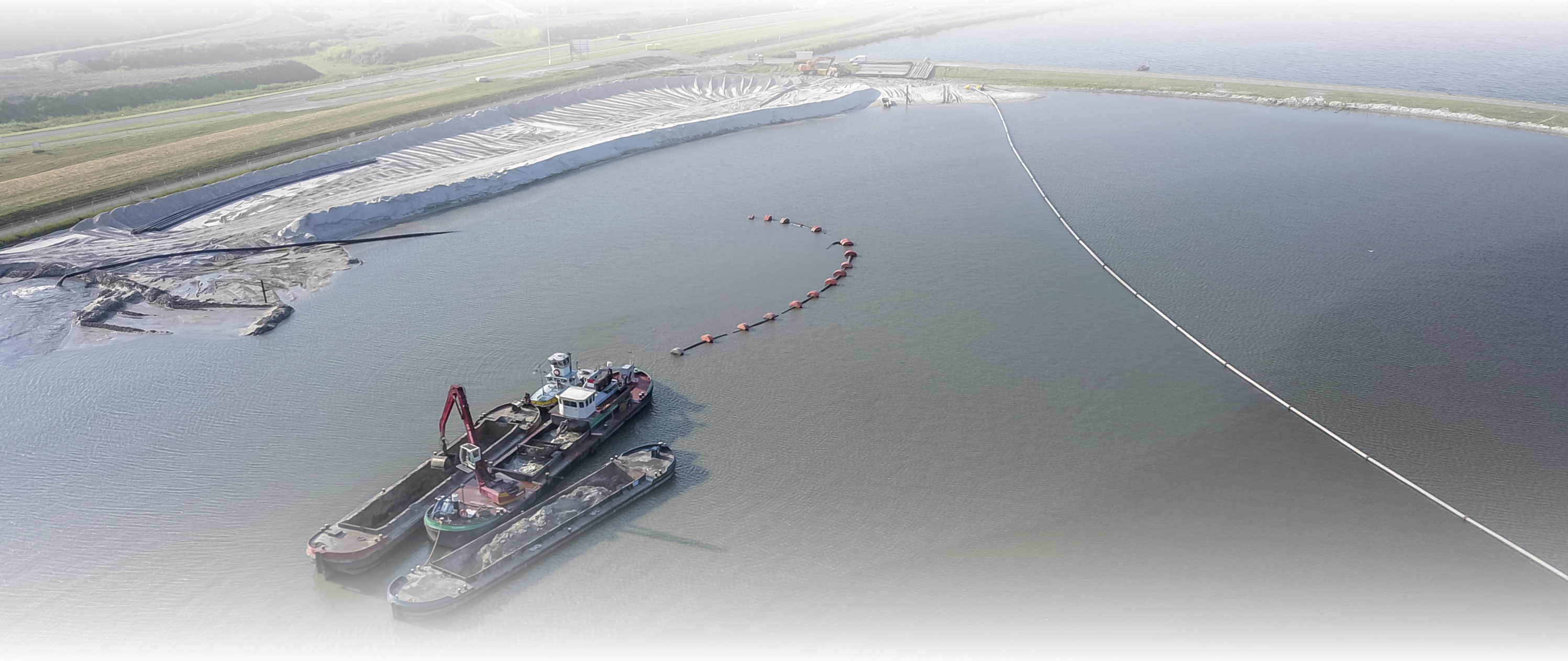
Charting underwater structures, soils and project progression using GPS, sonar, single and multi- beam systems produces a huge amount of data that needs to be analyzed.
Vast project areas can be analyzed with user-friendly drawing, calculation and design tools andpowerful 3D visualization of large point cloud files and vector data. Calculating volumes, contour lines, cross sections, profiles, terrain models and exporting machine control data sets provide in day-to-dayand high-quality reporting.
Pythagoras will be your daily assistant to manage all your hydrographical survey and design needs.
-
Load side scan, single beam and multi beam data
-
Visualize model in plan, profile and 3D view
-
Design new profiles and cross sections
-
Contour and breaking lines in point clouds
-
Calculate dredged volumes
-
Compare point cloud to point cloud
-
Compare point cloud to a model